Google first launched Plus Codes in 2015, and then earlier this year made using and sharing them easier in Google Maps. Today they’re trying to raise awareness of the standard in the hopes that more people will use it, and perhaps even benefit from it.
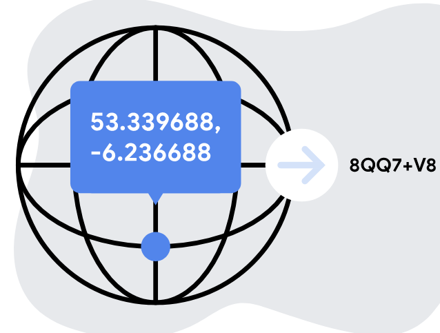
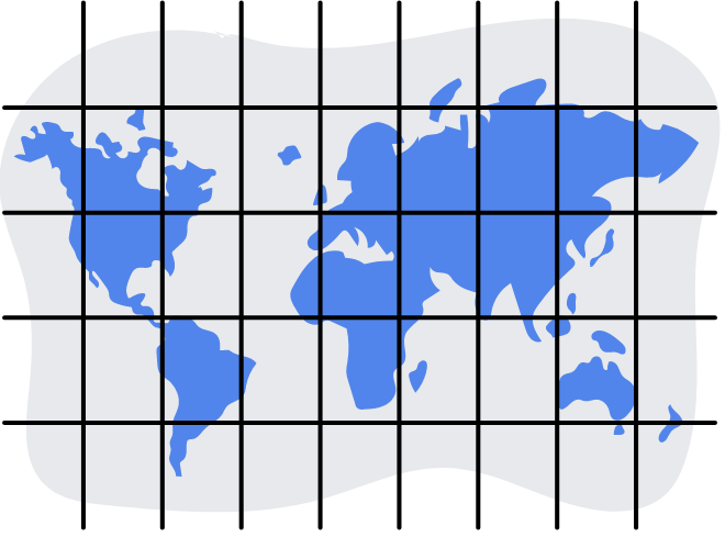
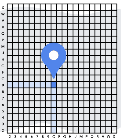
What are Plus Codes? It is a system to allow for hyper-accurate, within 3m x 3m, location of any part of the planet. This is achieved by converting the longitude and latitude of a location into a six-digit Plus Code, for example, 8QQ7+V8, then dividing that location up into a 20 x 20 grid, then further dividing that grid into a 20 x 20 grid. The end result is a code such as 9C5M8QQ7+V8R.
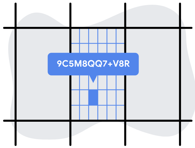
The first 2 letters in any code is a region marker, like Queensland, if you know you’re in Queensland then you can drop 5R letters and just add Queensland to the address If you know the town you are in you can drop the next two letters of that grid as well. While we don’t think people are going to walk around saying hey I live at 4RPFM4RG+99R, it is a powerful tool for digital services.
Having a common language to identify a specific location on the globe will allow for apps to be built that can communicate this details and assist with navigation, way-finding and eventually identifying the exact spot where you were headed. That’s great for meeting friends in an open space or locating a street vendor in a city with no structured identification.