
In 2015 I’ve travelled through Barcelona, London, Berlin, San Francisco and of course Sydney, the common thread in all these cities is that I’ve used Google Transit information to find my way round using public transport. For Victorian residents though, Transit information in Google Maps is still not available. Public Transport Victoria (PTV) released their timetable information in a format Google can use, back in March, so what’s happening?
The release of timetable information in a ‘Google readable format’, known as General Transit Feed Specification (GTFS) was part of the election platform used by the labor government in the election which brought them to power.
In January, Public Transport Minister Jacinta Allan advised that ‘work had started on providing Google with the public transport data it needed’ and in March, Labor premier David Andrews announced that the data was now available.
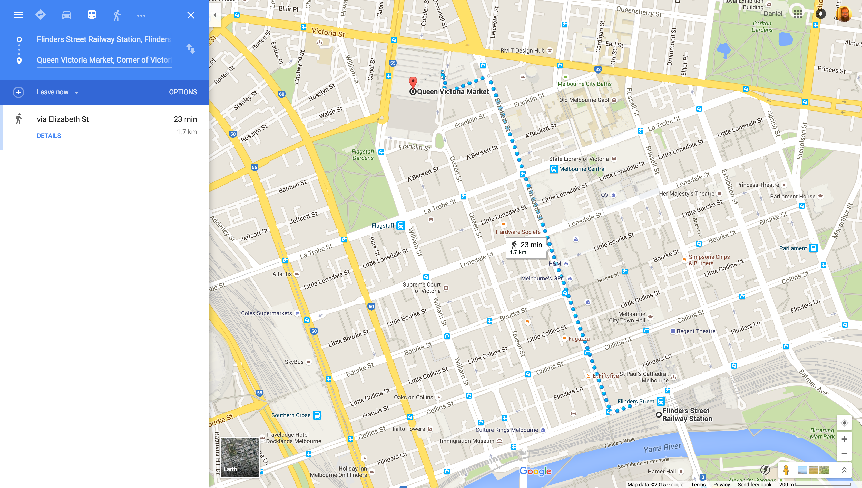
That was 7 months ago, but a simple search in Google Maps will show you that though the public transport button shows up, there’s no actual public transport directions delivered when you search.
Ausdroid reader Phillip, a Victorian resident, has been pursuing the release of Google Transit directions with PTV, as well as with the Google Maps team to try and find out when Victorians will be able to join not only the majority of Australia, but the world, in finding their way around their city.
Phillip started at the top, with the Victorian Minister for Transport, who responded to requests for information by Phillip, as well as Ausdroid, by advising that after releasing their timetable information in GTFS, it’s now up to Google as the next step in the process of getting Transit in Google Maps. Phillip went a step further, contacting PTV and received a reply from PTV CIO Sendur Kathir who advised that he should contact Google.
Our response from Google has been that there is nothing to announce as yet, but Phillip decided to contact the Google Transit Team via their contact form.
Phillip received a reply from the team which advised they are working to integrate the data from PTV into the Transit directions as soon as possible, but there isn’t a timeline to announce as yet. The reply seems to indicate that Google does indeed have access to the data, but appears to be working on improving the way they implement the GTFS data. The team initially responded with:
The folks from PTV have provided us with their transit information. However, currently we are facing a block due to which the process to integrate their data on Maps is being shelved temporarily. But please be assured, we are working on a couple of options to make the transit data available as early as possible.
Before clarifying:
We are trying our best to improve the quality of the GTFS feed and to ensure that it conforms with the GTFS. At this point, it is difficult to assume when the feed will be ready for production. But please understand, we are exploring options to make the the data live soon.
It’s quite frustrating to deal with for Victorians. Google Transit is a fantastic tool, it offers freedom and a way to get around that’s easy to access and easy to use – Google Maps is after all on almost every smartphone or is a simple download away. It’s also time to remember that this is a service provided by a company, and even one as big as Google has limits to resources.
Ulitmately the Australian Government, local, State or Federal doesn’t have much control over the release of Transit information in Google Maps. On the plus side, the Victorian Government has fulfilled their election promise to release the data in the correct format, a rare occurrence at any level of government.
At this stage, all we can do is wait and see, hopefully it won’t be too long till we see some directions.


