

Google first started working on providing live public transport data in Google Maps thanks to one Googler’s 20% project. Jump forward to today and live transit data is live in cities all over the globe. New South Wales today joins that list thanks to a collaboration between Google Australia and Transport New South Wales and this is a first for Australia.
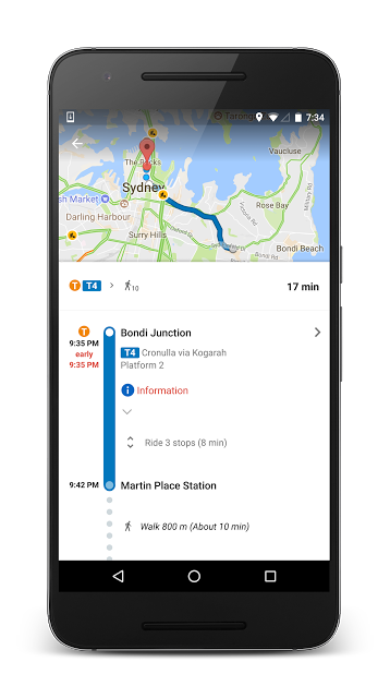
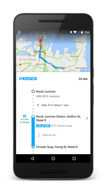
For users in NSW today if you search for any trip and tap on over to the public transport tab you’ll now get a list of transport cards showing your options with live data for each service included.
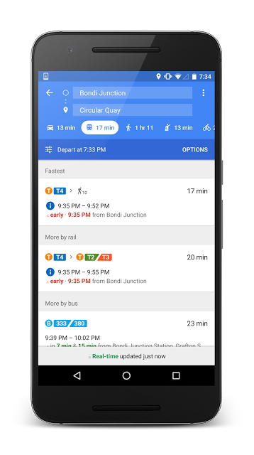
The update is live today with one of our own noticing the updates on his bus trip into Sydney this morning. You now have access to new live data from Google Maps on Android, iOS and the web today but unfortunately it’s not a lot of use outside of NSW.


